
Aerial Surveying
Photogrammetric surveys delivering orthomosaics, DSM/DTM and volumetric analysis to sub-50mm accuracy.
Learn more →Advanced aerial surveying, LiDAR, photogrammetry and digital asset inspection for UK infrastructure, utilities, nuclear, rail and coastal environments.
Survey-grade aerial data, LiDAR and digital inspection for infrastructure asset owners, engineering consultants and contractors across the UK.
All Services →Photogrammetric surveys delivering orthomosaics, DSM/DTM and volumetric analysis to sub-50mm accuracy.
Learn more →Mobile and static LiDAR producing dense point clouds for CAD extraction, clearance analysis and as-built documentation.
Learn more →Photogrammetric mesh models and hosted digital twins for remote inspection, stakeholder review and change detection.
Learn more →RAMS-backed aerial inspection of bridges, retaining walls and viaducts with georeferenced defect mapping.
Learn more →Indoor drone inspection for tunnels, culverts and difficult-access assets — eliminating confined space entry risk.
Learn more →Floor plans, elevations, sections and as-built records produced to client specification for planning, BIM and maintenance.
Learn more →Cloud-hosted inspection models, measurable point clouds and repeat-monitoring digital twins — giving engineering teams and asset managers a single live reference for the asset's entire life.
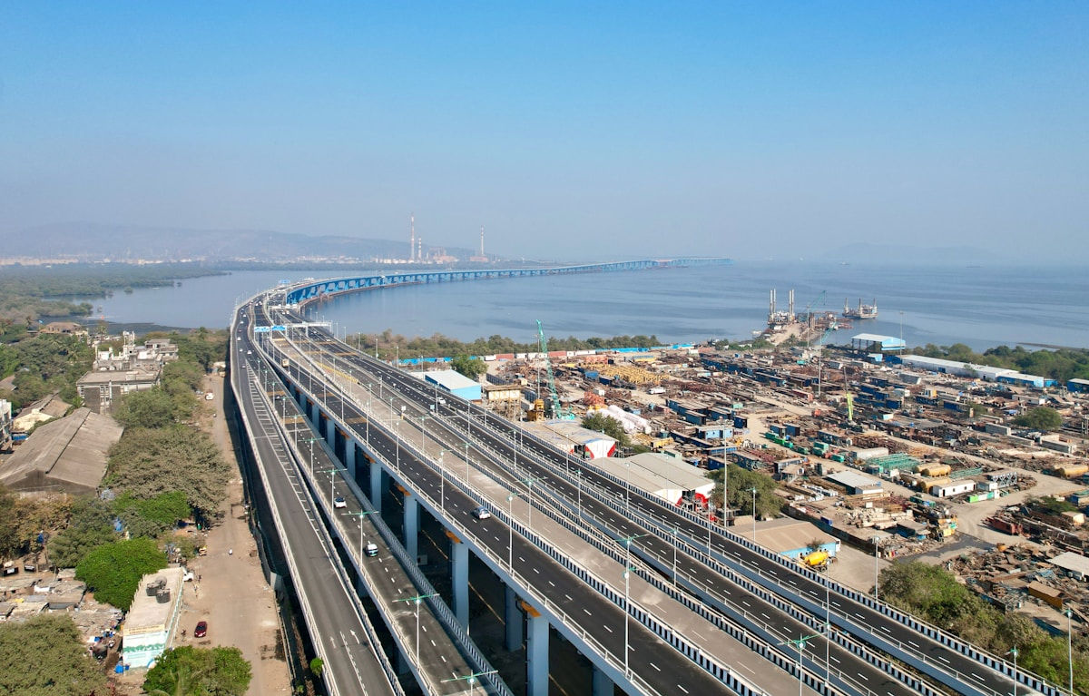
Aerial inspection and photogrammetric survey of a principal highway structure. Georeferenced defect mapping delivered as a hosted inspection model.
View Project →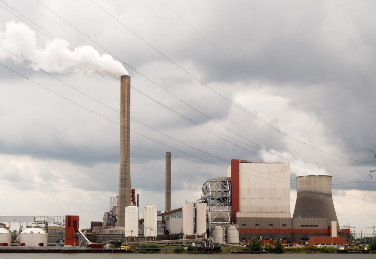
Survey operations within a licensed nuclear site. RAMS-backed flight planning with site-specific controls and survey-grade orthomosaic deliverable.
View Project →
Full aerial inspection and photogrammetric survey of a Victorian railway viaduct. Defect schedule and georeferenced 3D model delivered to Network Rail.
View Project →